
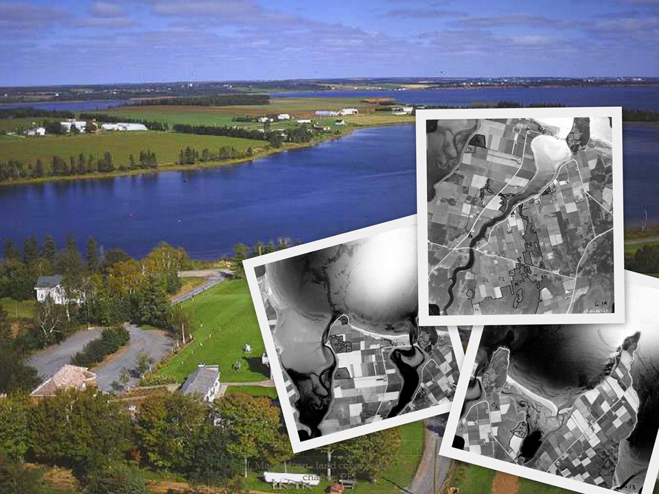
My chapter on Prince Edward Island’s changing landscapes and land use (Top-down History) was featured in the latest episode of the Nature’s Past podcast today. This was a roundtable interview with Jennifer Bonnell, Marcel Fortin, John Lutz, and me. We discussed the changing role of historical Geographic Information Systems (HGIS) in academic research, and the role of the new book edited by Bonnell and Fortin HGIS Research in Canada. I was able to speak to the advanced geospatial analyses I performed on Prince Edward Island’s environmental history, with the help of William Glen.
The episode is available at:
http://niche-canada.org/2015/01/26/natures-past-episode-46-historical-gis-research-in-canada/
 Sean Kheraj created Nature’s Past as one of the many digital initiatives of the Network in Canadian History & Environment (NiCHE). As he explains in this episode: “To help researchers in the field of environmental history get acquainted with the uses of [HGIS] technology, the University of Calgary Press and the Network in Canadian History and Environment have published a new book called, Historical GIS Research in Canada. You can read our review of the the book here.” The podcast was a really lovely way to cap off this excellent project.
Sources:
Kheraj, Sean. “Episode 46: Historical GIS Research in Canada” Nature’s Past: Canadian Environmental History Podcast. 26 January 2015.
Joshua MacFadyen and William Glen, [pdf] “Top-down History: Delimiting Forests, Farms, and the Census of Agriculture on Prince Edward Island Using Aerial Photography, ca.1900-2000,” in Jennifer Bonnell and Marcel Fortin eds., Historical GIS Research in Canada (Calgary: University of Calgary Press, Canadian History & Environment Series, 2014), 197-223.