As a Collaborator on the Canadian Historical GIS Partnership I had the opportunity to meet with many of the incredible Canadians who are using Geographic Information Systems to advance historical research and presentation in higher education. The mid-term meeting was held in Toronto, and it included scholars and practitioners from across the country (and the US, of course). A summary of the highlights from that event can be found here.
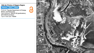
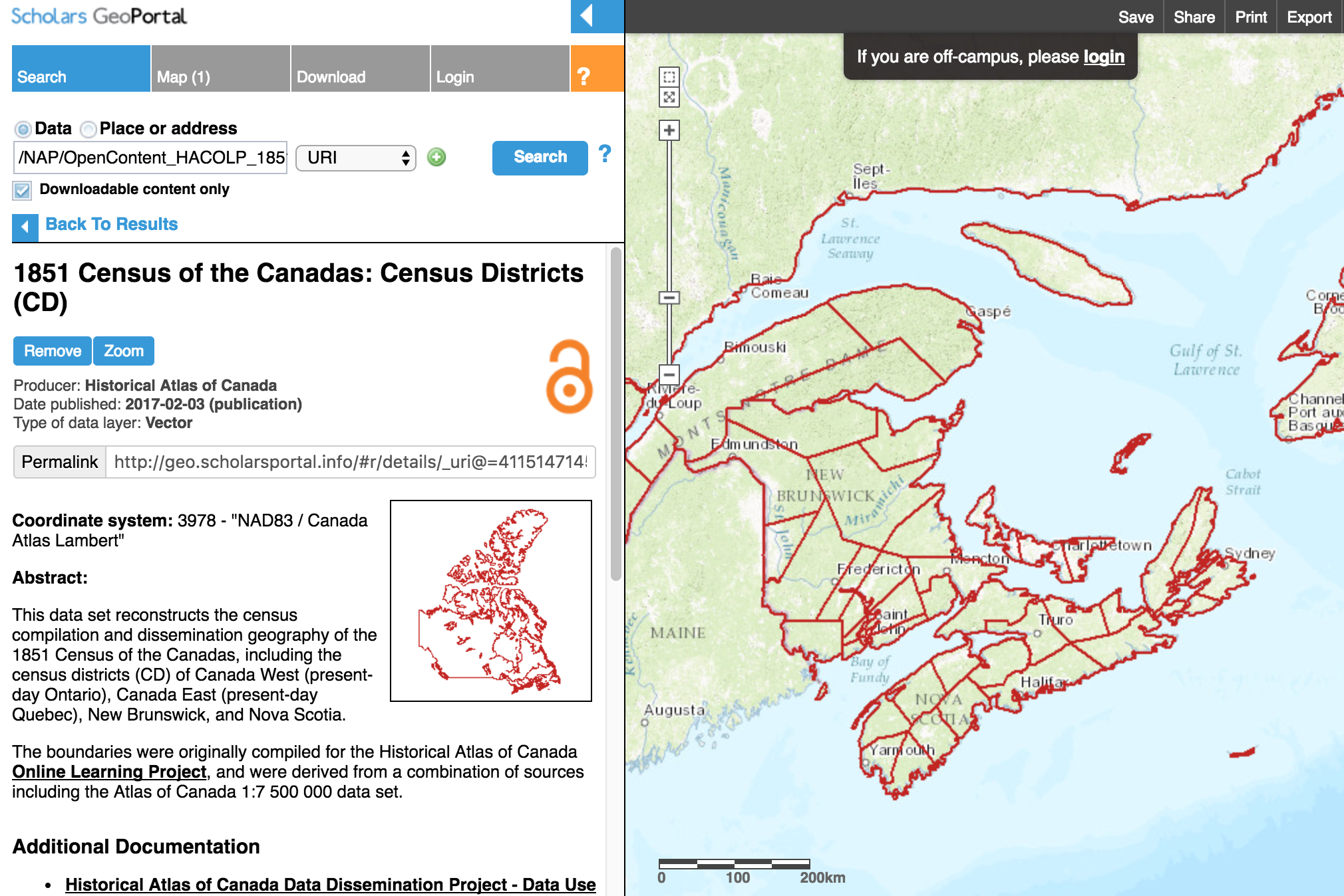
Anyone who uses tools like Scholars GeoPortal or Montréal, l’avenir du passé (MAP) to retrieve historical data will want to check out the presentations in more detail in the program here.The GeoPortal is becoming an especially impressive repository and visualization tool for historical geospatial materials. Our parters at ESRI Canada also demonstrated some of the new functionality of ArcGIS Online and Story Maps viewers for the kinds of portal the CHGIS Partnership plans to develop.
My presentation focused on how I was planning to use ASU Online’s teaching platforms and the Geospatial Historian (the open source web tutorial I created with Jim Clifford and Dan Macfarlane) in an introductory summer course at ASU. Anyone interested in more information can check out my presentation slides here.
Acknowledgements: I am indebted to Dr. Penelope Adams Moon, Director of Online Graduate Programs at the School of Historical, Philosophical, and Religious Studies at Arizona State University for much of the material on ASU’s online programs. She has written an excellent piece about online teaching at Inside Higher Ed. Teach Online … Before It’s Too Late